Faster, Safer, and More Accurate Regeneration Surveys
Manual sampling in forests is time-consuming, physically demanding, and often inaccurate. Foresters must trek through terrain, use manual sampling tools to establish plots, and count seedlings by hand—processes that are both resource- intensive and prone to error. Conventional photogrammetry with drones requires flying low and slow and capturing hundreds of overlapping images. With digital sampling plots, the job becomes faster, safer, and more precise—thanks to drones and artificial intelligence.
Fast
Safe
Objective
Objective
Documented

How do digital sample plots work?
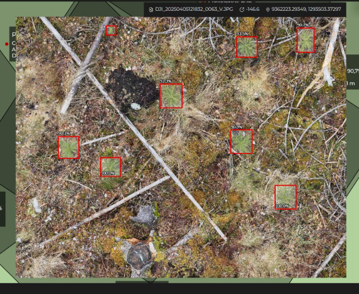
With digital sample plots, there’s no need to plan your route in advance – just fly and capture images where the plants are. The images can be taken from various angles as long as the plants are visible – you’re not limited to straight-overhead shots. A high-resolution image equals one digital sample plot (45–60 m²), and no image overlap is required – fast and simple.
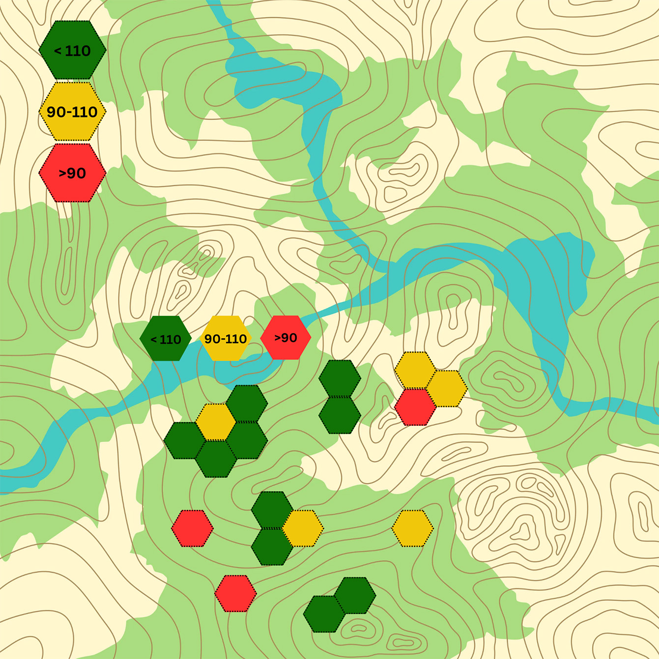
AI analyzes the images instantly, counts the plants, and calculates the density per hectare. The results are available in the portal. Everything is documented with GPS location, so you can revisit the exact same plots later. It doesn’t get any easier than that.

Why use digital sample plots?
Biodrone Digital Sampling Plots
-
Time consumption
Done in minutes with a drone. One image equals one sample plot.
-
Safety
Can be done from a safe distance.
-
Accuracy
Objective and repeatable.
-
Documentation
Map with exact GPS location.
Compared to other methods
Traditional method
-
Time consumption
Time-consuming fieldwork with sample ropes and manual counting.
-
Safety
Fieldwork often takes place in challenging terrain.
-
Accuracy
Manual sampling is prone to errors.
-
Documentation
No visual documentation.
Conventional photogrammetry with drone
-
Time consumption
Time-consuming. Requires flying low, slowly, and taking many overlapping images.
-
Safety
Risk of crashing into forest edges and legacy trees.
-
Accuracy
Poor quality on small details – small plants can easily be missed.
-
Documentation
Orthophotos don’t capture all the plants.
*To use DSP, we recommend a drone equipped with a Laser Range Finder, such as the DJI Matrice 4E.